Site Index, Search, Glossary. Updated 29 October 2019, flagged by <$
Home > System Components > MSR Complex >
MSR Admin / Housing Areas >
Admin/Housing Photo Galleries > Gallery A
MSR Admin/Housing Areas Gallery A

(opens in a new window)
Gallery A
-

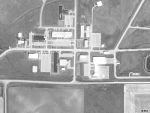
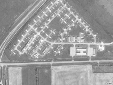
01713
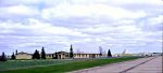
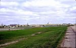
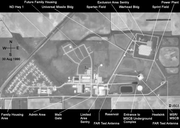
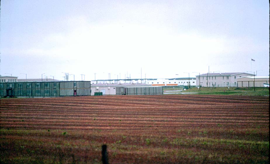
USGS high altitude aerial photo of the MSR complex family housing area (1990).
-
The actual housing units were moved to Grand Forks AFB after the site was deactivated.
-
The intersection of N.D. Hwy 1 and the MSR complex access road is just out of view on the lower left edge of the photo.
-
Photo 01712 continues this photo to the east (right).
-
(390 x 293 = 22k) Show | Omit descr
(800 x 600 = 44k) Show | Omit descr
-
01712
USGS high altitude aerial photo of the MSR complex administrative area (1990).
-
Continuation of photo 01713 from the west (left).
-
The west end of the reservoir adjacent to the MSR can be seen at the right edge of the photo.
-
(390 x 293 = 18k) Show | Omit descr
(800 x 600 = 35k) Show | Omit descr
-
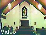
05010
Video: MSR complex support facilities.
-
Family housing
BEQ
Dispensary
PX
Gym
Chapel
-
wmv, 00:31 (320 x 240 = 2.88m)
-
From A 20-Year History of the Antiballistic Missile Program.
-
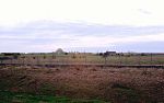
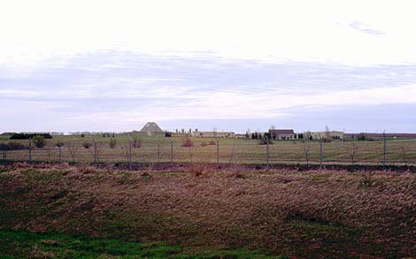
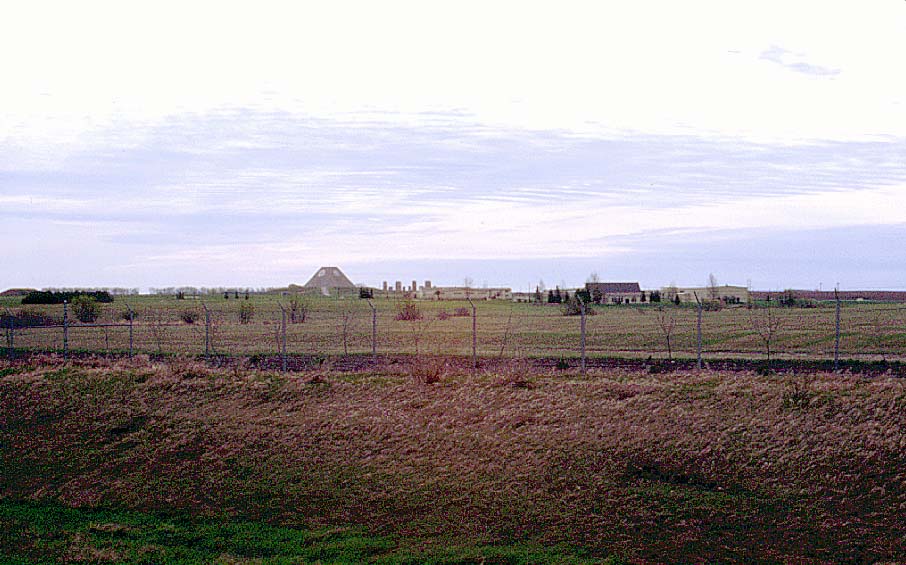
00522
Admin / housing areas from the west at sunset, taken from N.D. Highway 1 just before the turnoff to the MSR complex access road (1999).
-
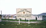
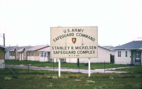
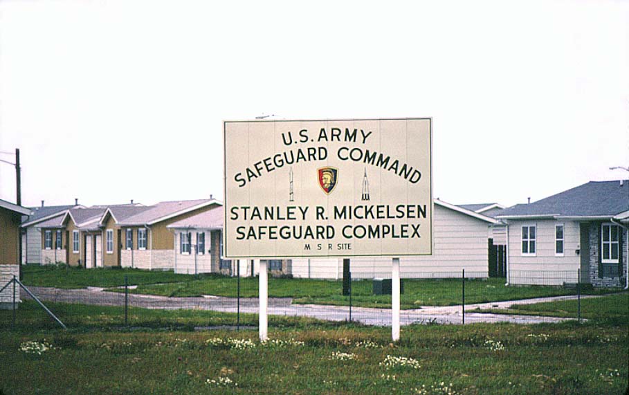
00629
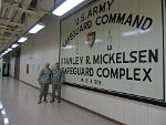
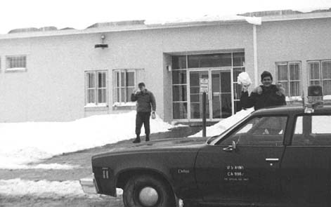
Safeguard Command / MSR Complex sign at southwest corner of the MSR site (1977).
-
The MSR Complex was operated by the Army Safeguard Command, Grand Forks, with an authorized strength of 784 personnel. This
number consisted of 62 officers, 22 warrant officers, 432 enlisted men, and 168 civilians. Their mission was to "defend
the continental United States from a ballistic missile attack; specifically, to establish an area defense for existing
retaliatory missile sites."
-
A subordinate unit, the Army Surveillance Battalion, Grand Forks, operated the PAR (Perimeter Acquisition Radar).
-
Family housing units are in the background; these units were moved to Grand Forks AFB after shutdown of the Safeguard system.
-
This sign now hangs in the level one hallway of the PAR building at Cavalier Air Force Station.
-
(465 x 292 = 26k) Show | Omit descr
(909 x 571 = 76k) Show | Omit descr
-
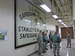
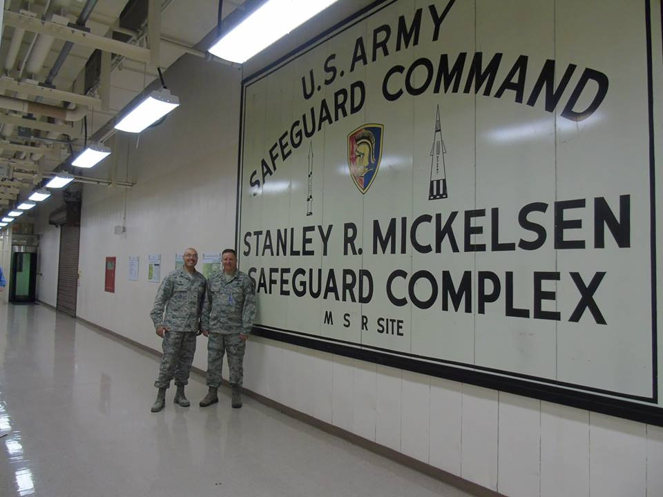
T004
MSR complex sign now hanging in the PAR building.
-
CAFS Commanding Officer LTC Michelle Kneupper (right) explains the PAR's history to 21st
Space Wing Commander COL John Shaw and Command Chief CMSgt Idalia Peele during their Sep 2014 visit. (Photo from 10SWS Facebook page)
-
(960 x 720 = 67k) Show | Omit descr
-
T014
During their Aug 2014 visit, 21st Operations Group Commander COL David Miller
(left) and Chief Enlisted Manager CMSgt Brad Smith stand in front of the MSR complex sign now hanging in the PAR
building. (Photo from 10SWS Facebook page)
-
(0960 x 0720 = 097k) Show | Omit descr
(2048 x 1536 = 312k) -------- | Omit descr
-

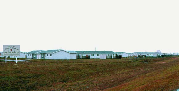
00628
Family housing units seen from the access road just after turning off N.D. Highway 1 (1977).
-
This housing area was to be designated for enlisted personnel with a second housing complex for officers planned north
of the admin area. This second housing area was never constructed although the streets were completed and are visible
in the USGS high altitude photo of the complex.
-
The MSR pyramid is visibile in the background on the right.
-
(580 x 294 = 24k) Show | Omit descr
(910 x 462 = 62k) Show | Omit descr
-
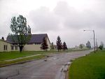
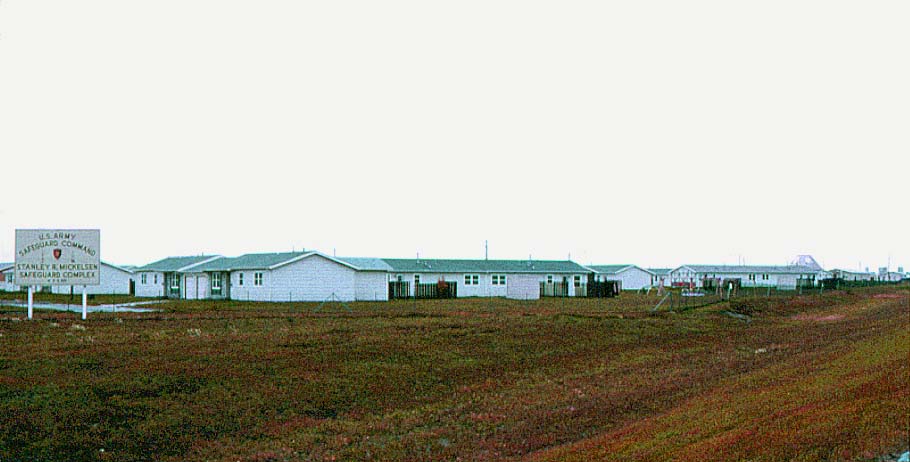
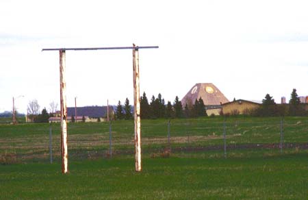
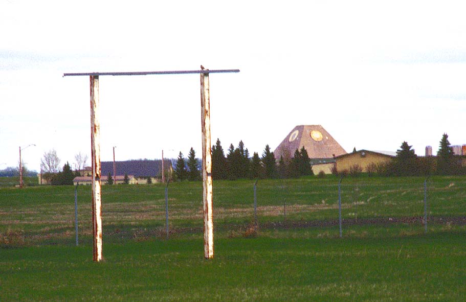
00406
Empty sign frame and former family housing area (1999).
-
See 00629, 00628 for 1977 version.
-
(450 x 292 = 16k) Show | Omit descr
(911 x 591 = 60k) Show | Omit descr
-
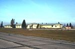
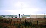
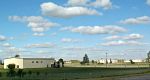
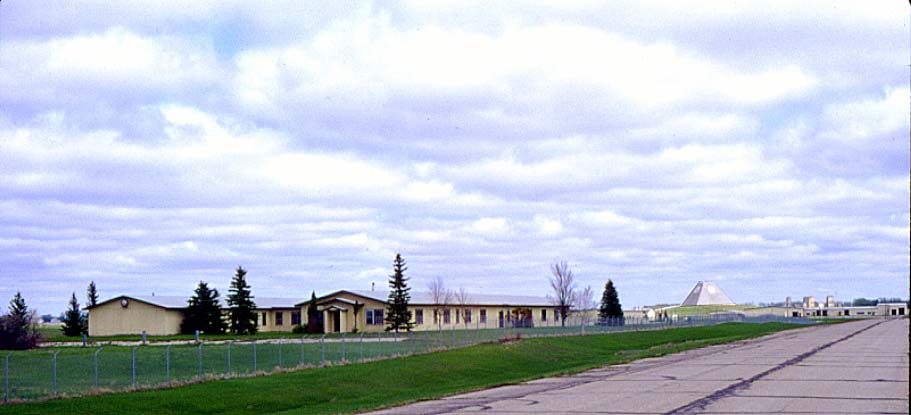
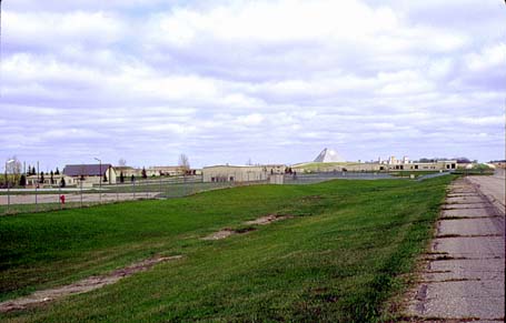
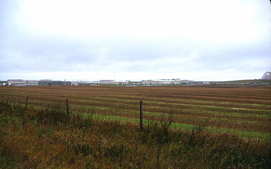
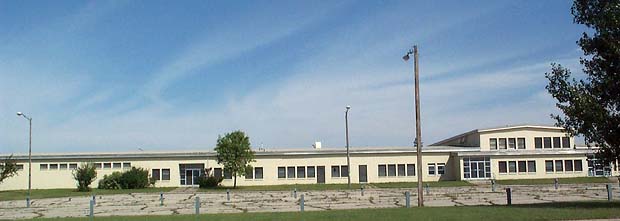
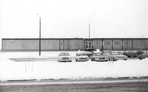
00413
Admin / housing areas from the southwest, taken from the MSR complex access road (1999).
-
The building in the center was the "H" building (since removed). It was shaped like the letter H. During construction,
the Corps of Engineers used it as their headquarters. After construction was completed and the site activated,
the admin building became the headquarters and the H building was used for general office space (housing office,
re-enlistment office, print/copy service, etc.).
-
(595 x 271 = 24k) Show | Omit descr
(911 x 415 = 46k) Show | Omit descr
-
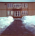
01024
Early morning photo of the H building taken from the MSR complex access road (1999).
-
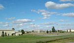
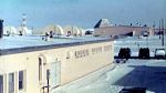
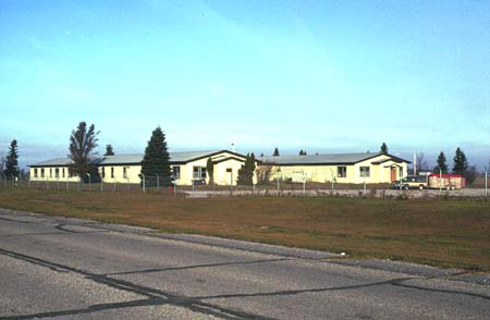
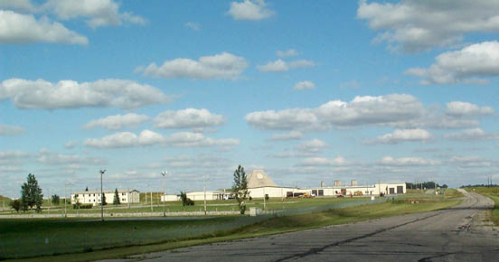
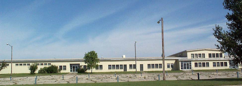
00414
Admin area from the southwest, taken from the MSR complex access road (1999).
-

04108
Closer version of 00414 (2001).
-
Admin building on the left, industrial buiding on the right, with the MSR behind.
-
(552 x 290 = 29k) Show | Omit descr
(875 x 460 = 60k) Show | Omit descr
-
Photo by Earl and Dee Raymond.
-
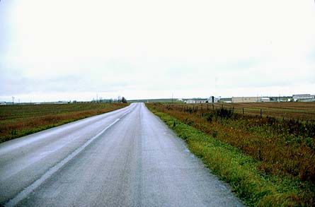
00605
View toward the north and the MSR complex from just outside the village of Nekoma (1977).
-
The family housing area is just out of view to the left.
-
The chapel is just to the right of center.
-
(445 x 293 = 21k) Show | Omit descr
(905 x 595 = 66k) Show | Omit descr
-
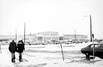
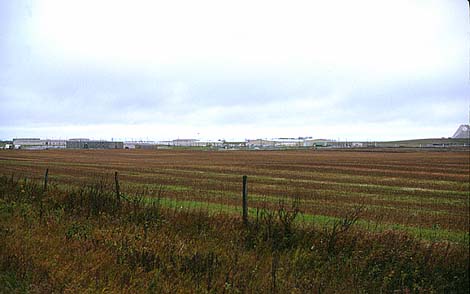
00604
View toward the northeast and the main admin area from just outside the village of Nekoma (1977).
-
The flag is flying at the administration building in the center of the photo.
-
(470 x 294 = 25k) Show | Omit descr
(898 x 562 = 79k) Show | Omit descr
-
00611
Chapel (left), gymnasium (right) (1977).
-
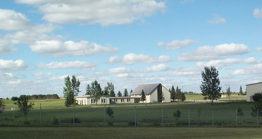
04107
Except for the tree growth, the Chapel and annex appear little changed in this 2001 photo (2001).
-
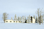
04150
Chapel (from the west) with admin building and MSR in background (2003).
-
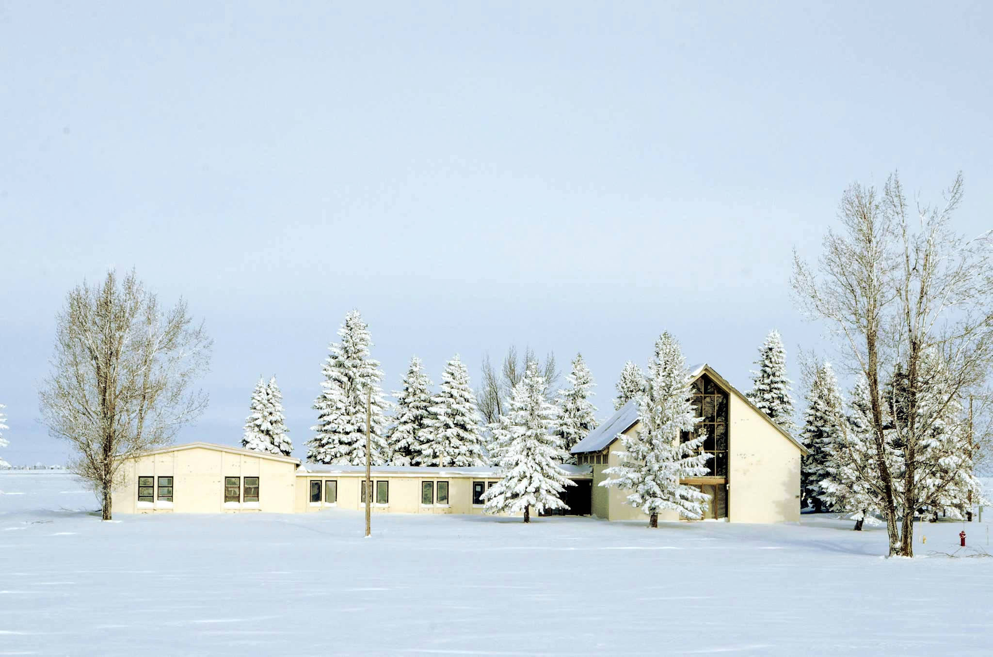
J000:
Chapel, winter view, 2016. <$
-
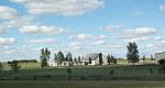
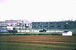
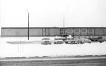
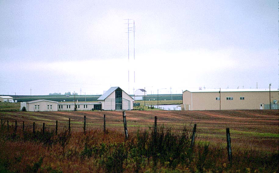
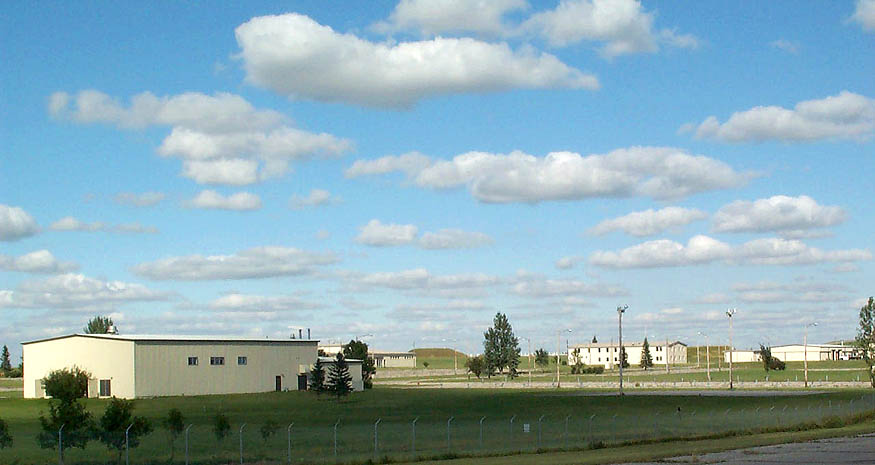
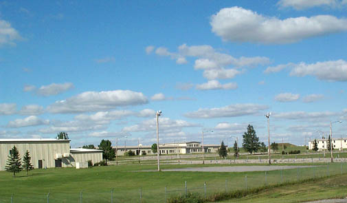
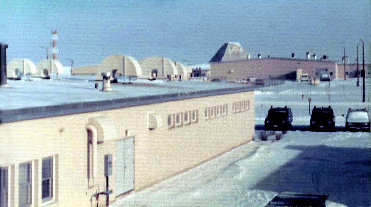
04109
Admin area buildings (2001).
-
Left to right: gym, community center (mostly behind gym), universal missile building (earth mound), admin building, industrial building.
-
(550 x 292 = 29k) Show | Omit descr
(875 x 465 = 61k) Show | Omit descr
-
Photo by Earl and Dee Raymond.
-
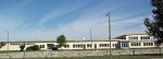
04110
Closer version of 04109 with a better view of the community building (2001).
-
The enlisted quarters and dining hall originally stood just beyond the parking lot on the right.
-
(505 x 295 = 28k) Show | Omit descr
(875 x 511 = 70k) Show | Omit descr
-
Photo by Earl and Dee Raymond.
-
00617
Community center (left), enlisted quarters (EQ) (right) (1977).
-
The EQ has since been removed.
-
(475 x 232 = 28k) Show | Omit descr
(906 x 596 = 88k) Show | Omit descr
-
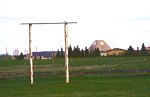
04101
Closer view of the community center (2001).
-
The short pole-like structures called "hitching posts" are seen in most parking lots. They provided electrical outlets
for engine block heaters, a necessity for the frequent sub-zero winter days.
-
(620 x 221 = 27k) Show | Omit descr
(975 x 348 = 54k) Show | Omit descr
-
Photo by Earl and Dee Raymond.
-
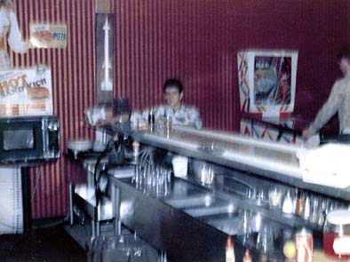
04033
Entrance to the PX in the community center building (1975).
-
If you can identify anyone in the photo, please
 the webmaster.
-
From Bill Carrothers:
The resolution is not very good but I am pretty sure the person coming out of the PX complex is John Kay, MP from the 3rd platoon. Don’t recognize the guy with the snowball.
-
(471 x 295 = 036k) Show | Omit descr
(950 x 595 = 121k) Show | Omit descr
-
Photo by John Thompson.
-
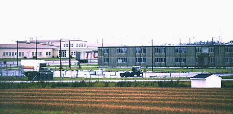
04030
Off to a movie at the community center (leaving the enlisted quarters) (1975).
-
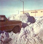
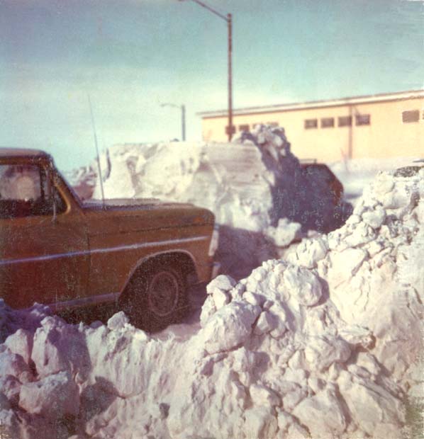
02602
Ford pickup pulled in against what used to be a 5-6 foot drift in the PX (community center) parking lot (1975).
-
04032
Dispensary (medical facility) (1975).
-
Like the enlisted and officers quarters, the dispensary has been demolished.
-
(472 x 295 = 15k) Show | Omit descr
(952 x 595 = 50k) Show | Omit descr
-
Photo by John Thompson.
-

00610
Enlisted quarters (EQ) (left), administration building (right, with flag flying) (1977).
-
The buff colored building just to the right of the EQ was the enlisted mess (dining) hall. The enlisted men's club
and a fallout shelter were on the lower level.
-
(480 x 293 = 20k) Show | Omit descr
(924 x 564 = 67k) Show | Omit descr
-
04603
Closer view of the enlisted mess from the second floor of the enlisted quarters (1976).
-

04616
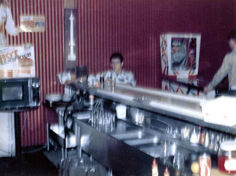
MP Ronnie Robertson at the bar in the NCO club (1976).
-

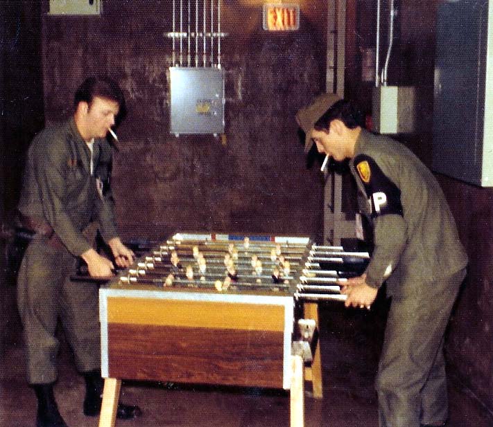
04625
Foosball at the NCO club (1976).
-

04029
MP's standing next to the enlisted quarters (1975).
-
This is the north entrance to the EQ. In the background the gym can be seen on the left, the chapel on the right.
-
Second from the left is Patty Cich (ID'd by Brad Paul.)
-
Far right is Mary Cooper (ID'd by Mike Howdle.)
-
If you can identify the others in the photo, please the webmaster.
-
(434 x 295 = 21k) Show | Omit descr
(875 x 595 = 64k) Show | Omit descr
-
Photo by John Thompson.
-
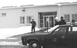
04035
A busy winter day in the admin area (1975).
-
Left to right: Community center, admin building, MSR, enlisted quarters.
-
(438 x 295 = 16k) Show | Omit descr
(884 x 595 = 51k) Show | Omit descr
-
Photo by John Thompson.
-

04028
Unidentified MP entering the enlisted quarters (1975).
-
This is the north entrance to the EQ; the gym is in the background.
-
If you can identify the person in the photo, please the webmaster.
-
(438 x 295 = 22k) Show | Omit descr
(884 x 595 = 74k) Show | Omit descr
-
Photo by John Thompson.
-
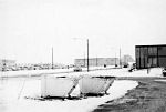
02600
West entrance to the enlisted quarters (EQ) with about 4 feet of snow drift (1975).
